Contents
Summary
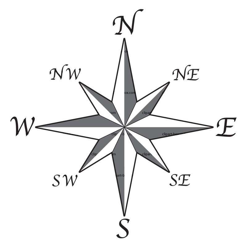
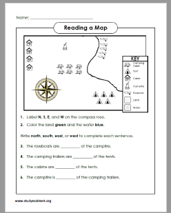
Four Cardinal Points
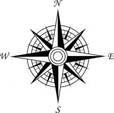
There are four cardinal directions, also known as cardinal points. It can also be referred to as to “due”. For example, the cardinal direction of north can also be referred to as due north.
Ordinal directions (or intercardinal directions) refer to the direction found at the point equally between each cardinal direction. They are: northeast (NE), southeast (SE), southwest (SW), and northwest (NW).
Maps
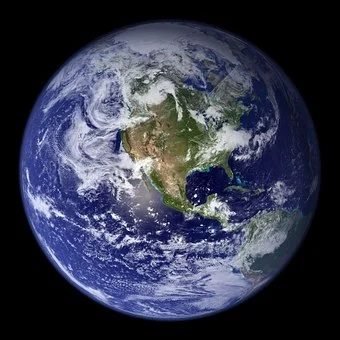
A globe is a model of the earth. It shows you mountains oceans, lakes, forest, etc. It is round and shows the true shapes of the continents.
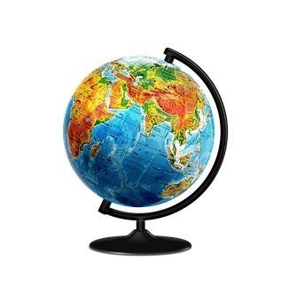
The globe looks like the real earth. It is even tilted. It is also round. However, with the globe you can see only a part of the earth at a time. You have to turn the globe to see the other side. You also cannot find smaller details on the globe, for example: you cannot find a street, or a resort, or a village on a globe.
However, a map could do more than a globe. It will allow you to see the whole earth at one time or even a particular place. It just will not allow you to see the earth as it is. Everything, on a map is drawn in a particular way. The Mapmakers (or cartographers) does this to draw the land, oceans, etc on a flat surface.
Definition of Maps
A map is basically a symbolic representation of selected characteristics of a place, usually drawn on a flat surface. Maps show information in a simple, visual way. You can find information about the size, shapes, and location of countries. Some maps will tell you much about things on earth, example: the settlements patterns, location of houses, streets, highways, etc.
Paper maps are easy to carry in your pocket. These maps look flat and as if you are looking at the earth from high above. From above you can see the mountains, fields, and the forest. the same is for a map.
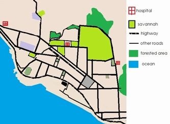
There are several kinds of maps. Some maps show roads, cities, rivers and important places. Others show highways and oceans. Then others show how rough or smooth a land is. Some show where the people live, farm, or vacation. There are also maps for the weather, crops, and events in history.
The features vary in the type of map and for specific uses. Vacationers use road maps to help them find places; meteorologists study weather maps to help prepare weather forecasts; and city planners use maps to show where to place hospitals and parks.
Basic Features of a Map
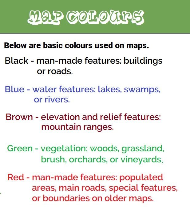
Mapmakers(called cartographers) use map language, symbols and colours, to show you information on a map. The map symbols stand for real things on the surface of the earth. The symbols are simple and are called keys or legends. The symbols are all explained in the corner of the map.
Manmade things are represented in the colours red or black. Water is shown in the colour blue. Can you think of the colour of other things that you see on a map.
Maps can also tell you how far something is. You do this by using a measuring stick called a scale. A certain distance on the earth’s surface stands for an actual distance on the earth’s surface. Therefore, on a map a scale could read as: 1 inch = 20 kilometres (this is a verbal scale). Another would look like this: 1/50,000 (representative fraction). This one means that measurement on the map things shown are 50,000 times larger that it is shown. It can also be represented as a ratio, example 1:50,000. Graphic scales show the distance using a bar scale like a ruler.

Some maps show great detail of a particular area. They are are called large-scale maps. Maps that show the world is called a small-scale map. Today, computerized maps help people to zoom in and out, and thus change the scale of a map.
Activity
Draw a map of your village or town showing some key points and building. Make sure you include a legend for your map.
Worksheets
Click the links below to download the PDF worksheets.


Click here for more worksheets.